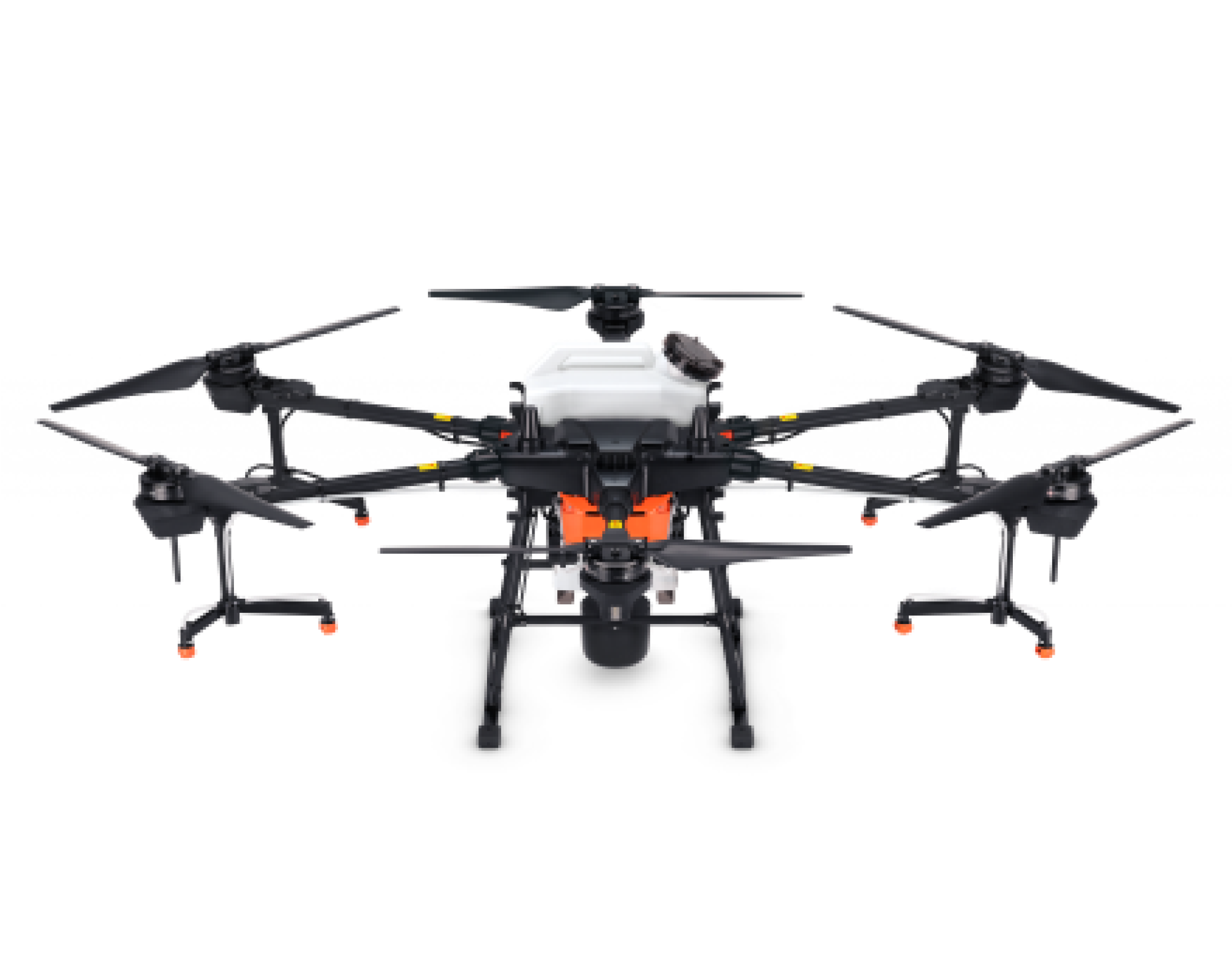
Overview
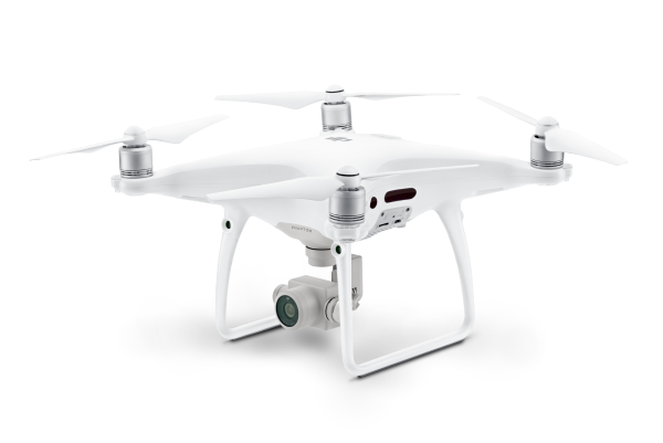
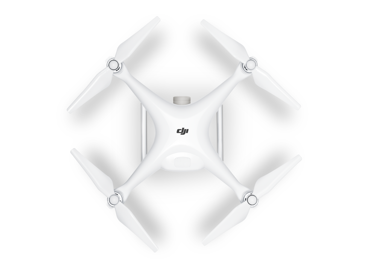
DJI’s Phantom 4 RTK is a commercial-grade mapping drone for many industrial applications, including construction, mining, and forestry. It is considered the most compact and accurate low altitude mapping solution.
This drone delivers survey-grade results with better efficiency and centimetre-level accurate data requiring fewer ground control points. Together with the DJI Terra, they form a complete mapping solution.
Applications
- Surveying & AEC
- Forestry
- Mining
- Public safety
Tech Specs | Summary
Aircraft
- 30 Minutes Maximum Flight Time
- 5-Directional Obstacle Sensing
- Up to 7 KM Maximum Transmission Range
- Built-in RTK module, supports PPK
- Accurate Positioning Data with TimeSync
- Integrated Flight Planning with GS RTK app
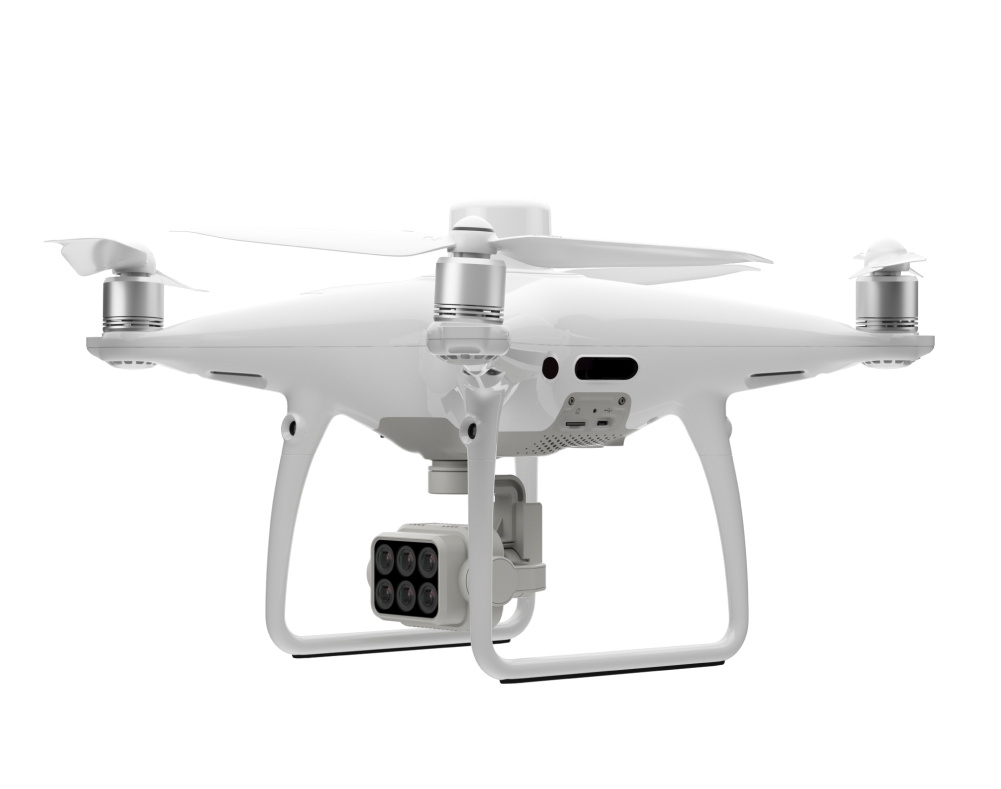
Camera
- 20 MP camera with 1” CMOS sensor
- Mechanical Shutter
Tech Specs | Extra
- Takeoff Weight: 1391 g
- Diagonal Distance: 350 mm
- Max Service Ceiling Above Sea Level: 19685 ft (6000 m)
- Max Speed: 31 mph (50 kph)(P-mode), 36 mph (58 kph)(A-mode)
- Operating Temperature Range: 32° to 104° F (0° to 40℃)
- Operating Frequency: 2.400 GHz to 2.483 GHz (Europe, Japan, Korea), 5.725 GHz to 5.850 GHz (United States, China)
Looking for something else?
What's in the Box
Accessories for Phantom 4 RTK
Phantom 4 Series Intelligent Flight Battery
Phantom 4 Series Charging Hub
Phantom 4 Series Propellers
D-RTK 2 High Precision GNSS Mobile Station
Get personalized updates on industry innovations and free digital assets
By submitting your information, you are agreeing to receive news, surveys, and special offers from Dronehub Ghana Limited. Terms and Conditions, Privacy Policy
Your preferred drone products and solutions provider in Africa
Everything drones
H/No. 60 Co-Operative Building, Opposite Glico Insurance, Kwame Nkrumah Avenue, Adabraka, Greater Accra, Ghana GA-075-8188
Our Store
Solutions
Industries
Services
© 2026 Dronehub Ghana Limited. All rights reserved.