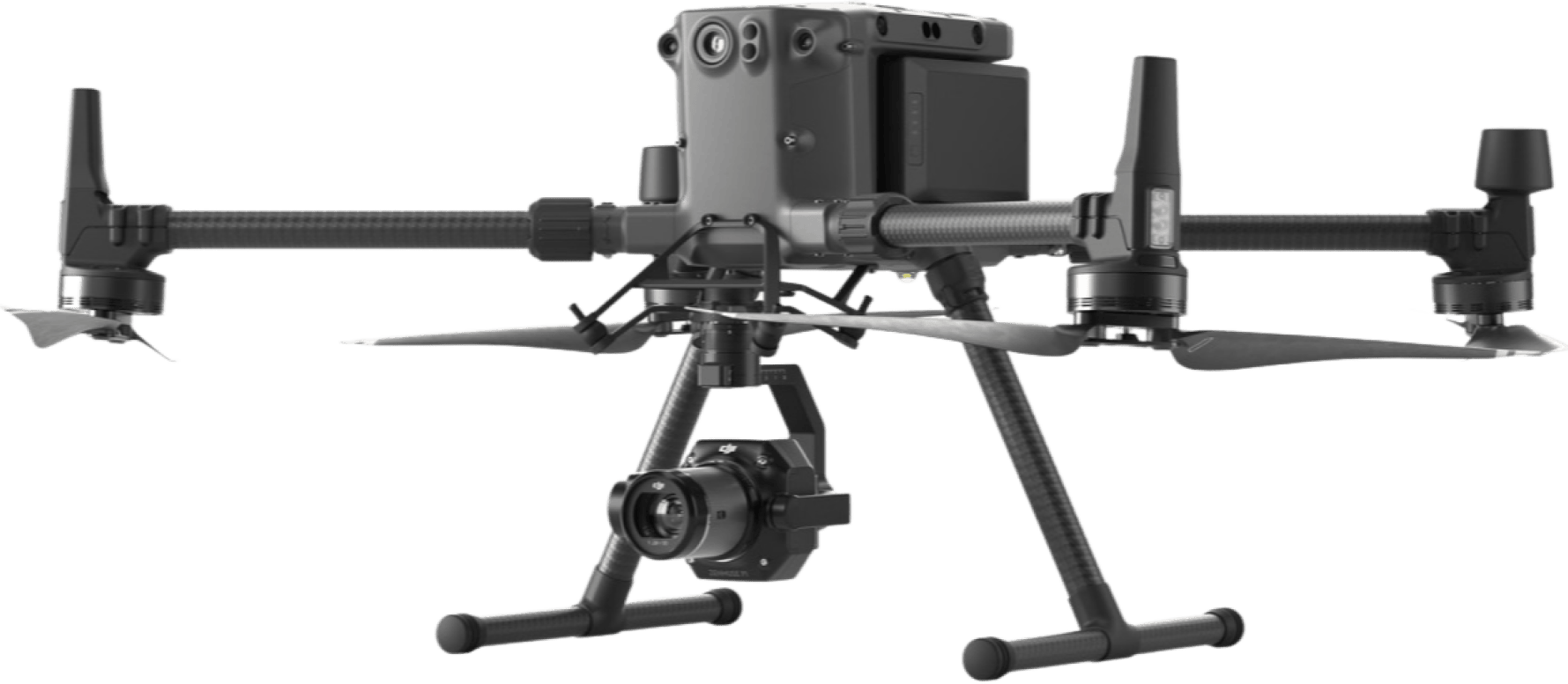
Drone Solutions for Surveying and Mapping
Automate Workflows and Gather Accurate Data
Drone Applications in Surveying and Mapping
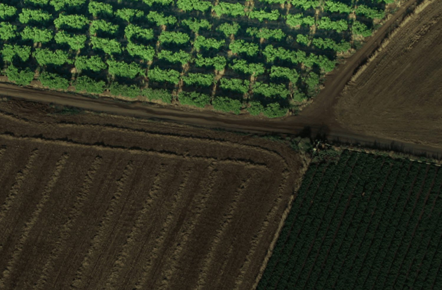
Topographic Surveys
Drones capture high-resolution images used to generate maps for locations that have poor-quality, outdated data, or even no data.
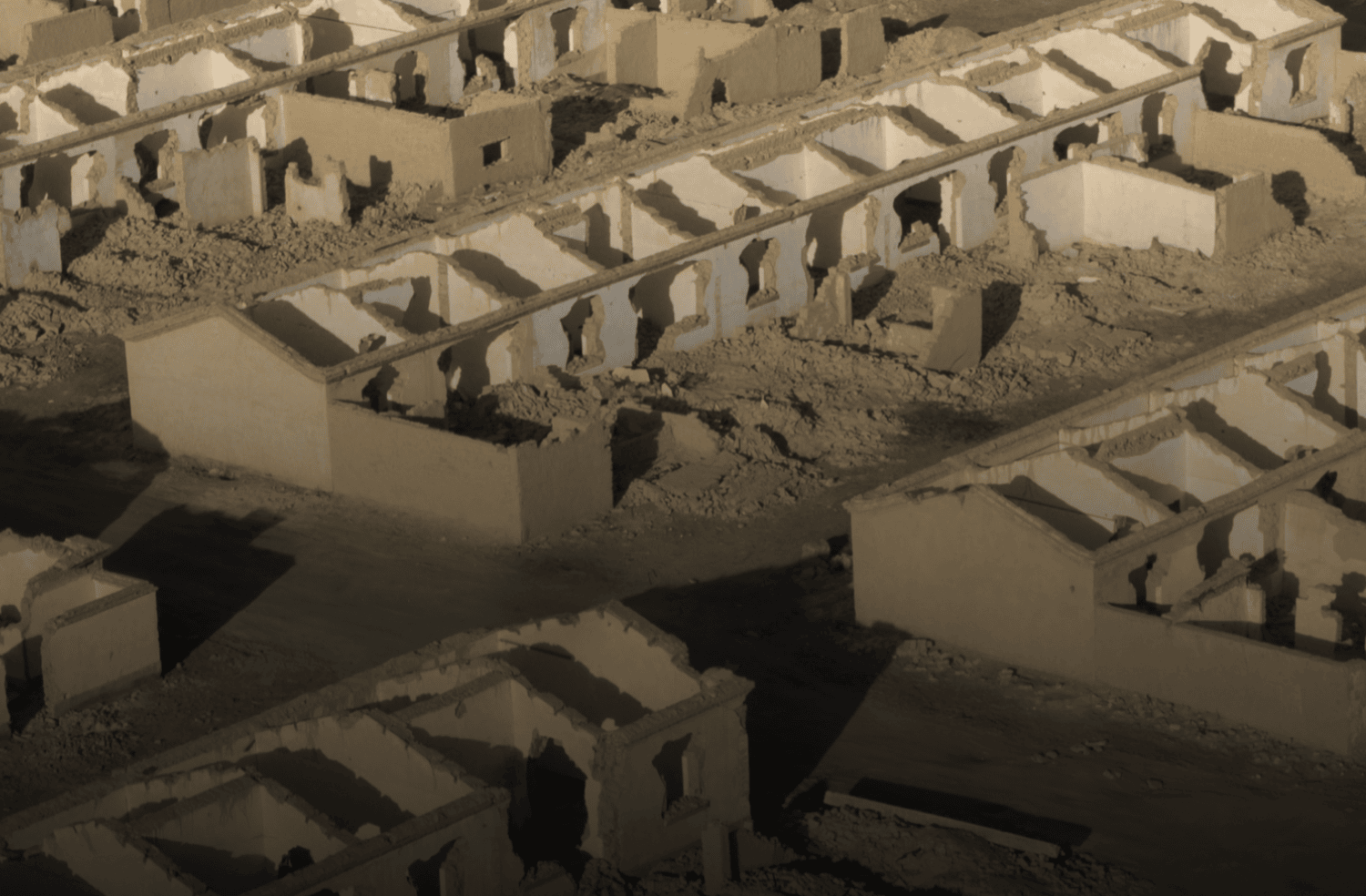
Land Development & Management
Aerial images captured by drones significantly facilitate surveys for land planning and management projects such as site scouting and allotment.
Area Measurement
Achieve error-free surface and distance measurements using high-resolution orthophotos captured by drones.
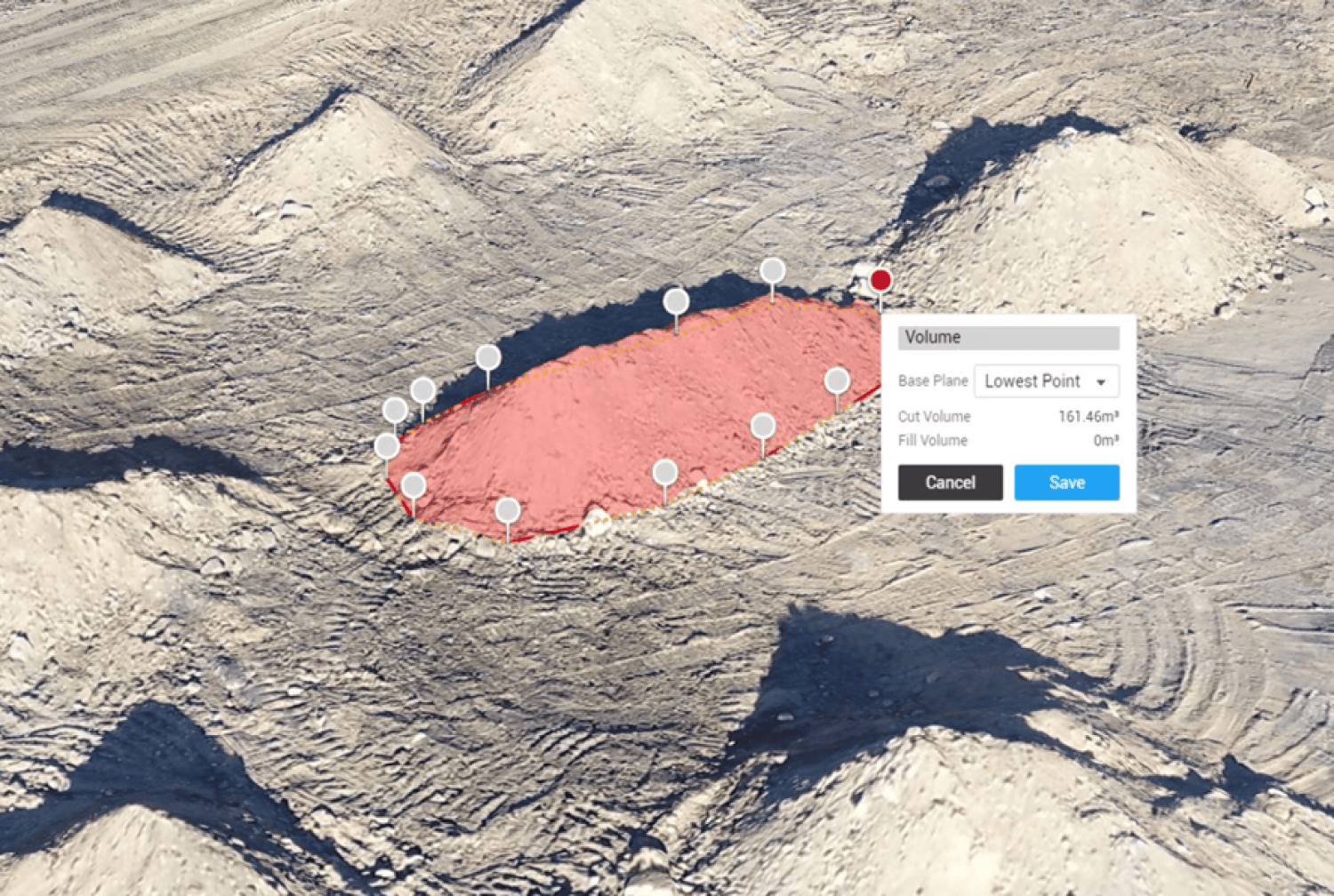
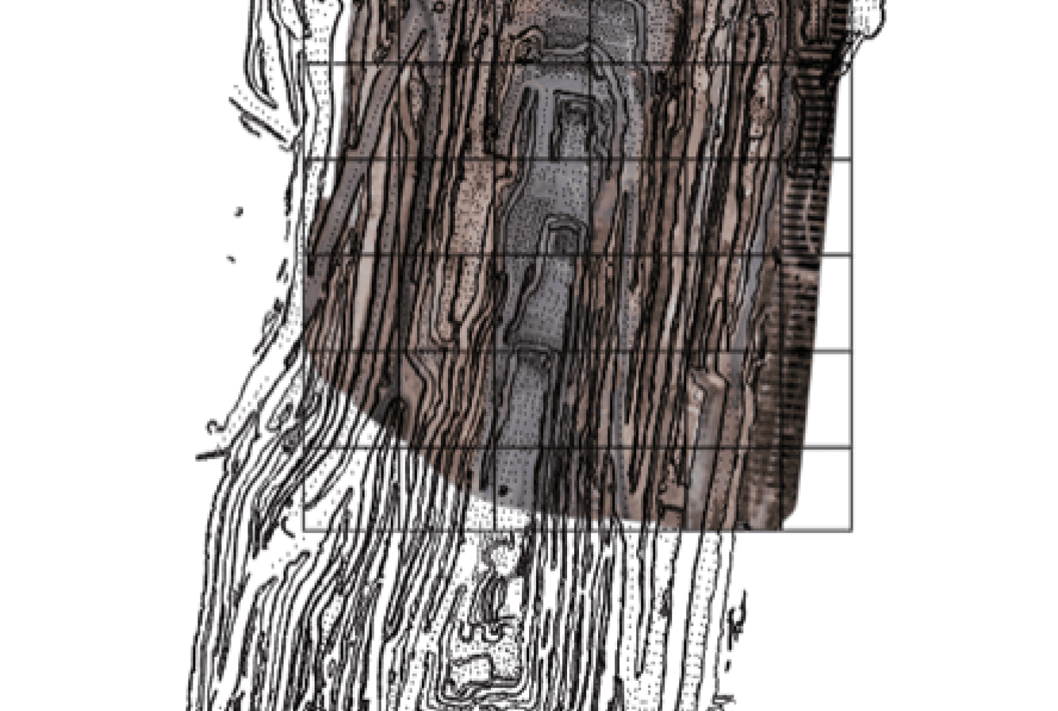
Stockpile Measurement
Surveyors can capture several topographical data points using drones for more accurate volume measurement.
Drones Solutions for Surveying
Looking for something else?
Get personalized updates on industry innovations and free digital assets
By submitting your information, you are agreeing to receive news, surveys, and special offers from Dronehub Ghana Limited. Terms and Conditions, Privacy Policy
Your preferred drone products and solutions provider in Africa
Everything drones
H/No. 60 Co-Operative Building, Opposite Glico Insurance, Kwame Nkrumah Avenue, Adabraka, Greater Accra, Ghana GA-075-8188
Our Store
Solutions
Industries
Services
© 2023 Dronehub Ghana Limited. All rights reserved.