Overview
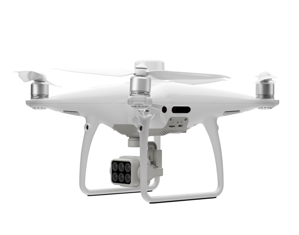
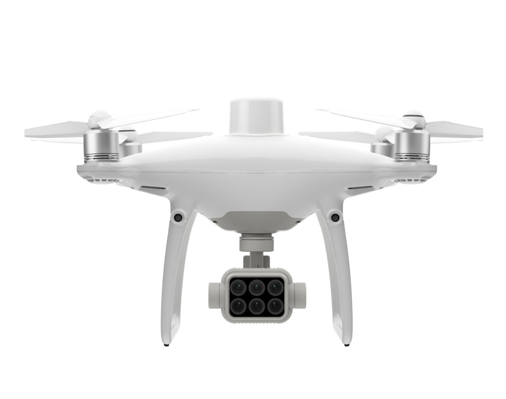
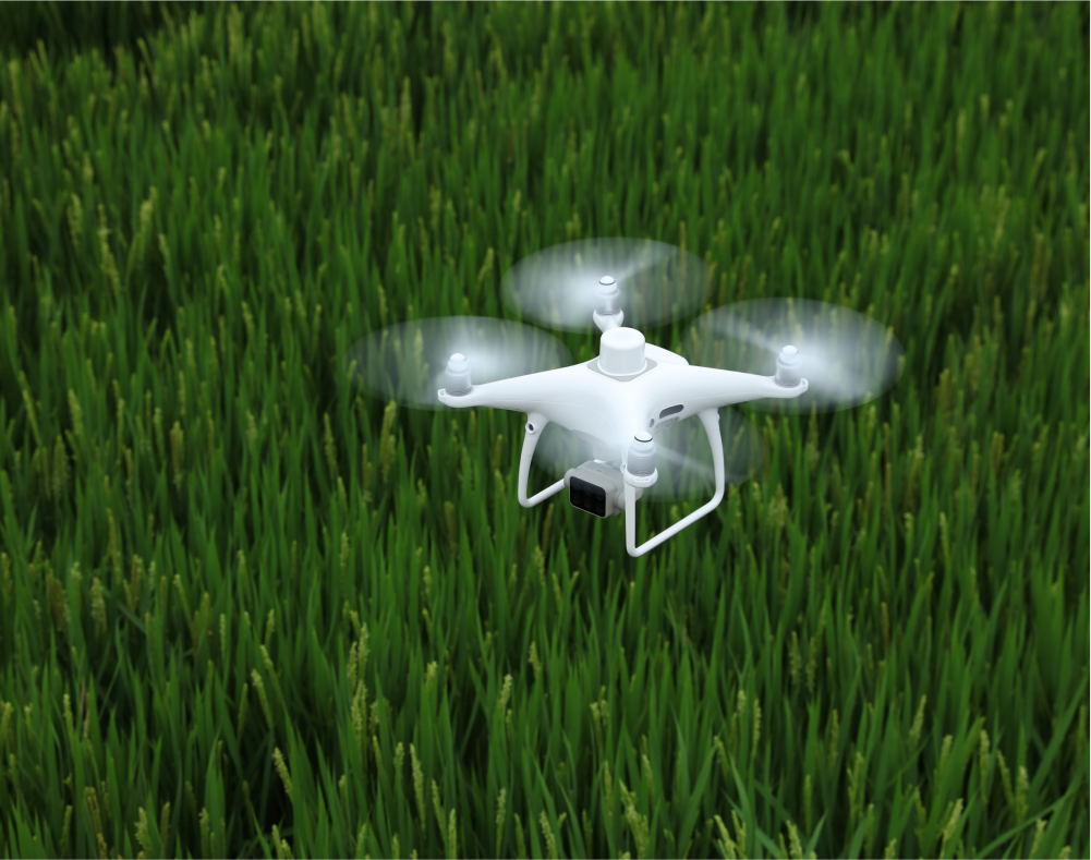
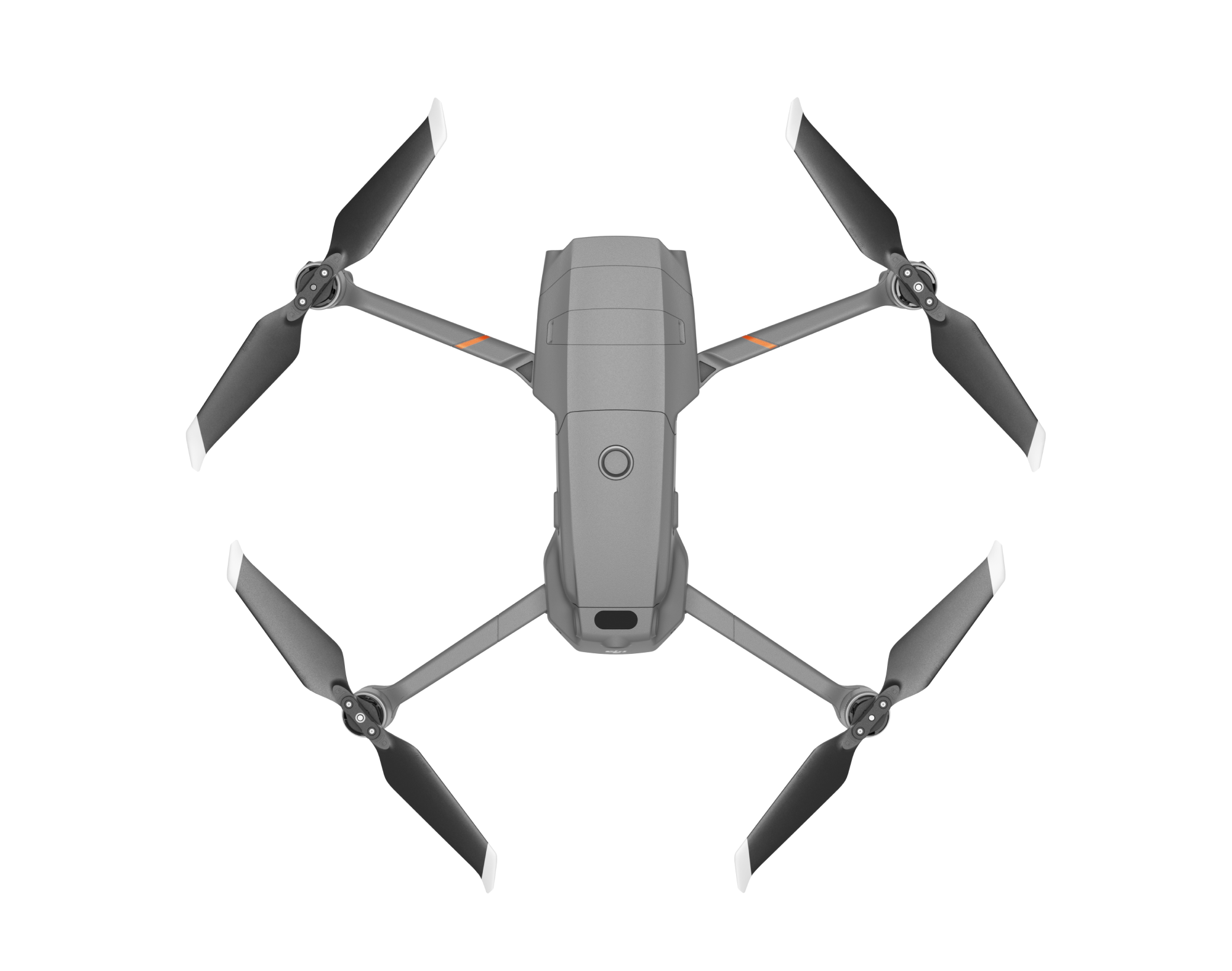
DJI P4 Multispectral is a high-precision drone for collecting accurate crop data through its consolidated multispectral imaging system. Go beyond aerial imagery with live Normalized Difference Vegetation Index (NDVI) visualisations for better farm insights.
Designed for agriculture missions and environmental monitoring, the P4 Multispectral offers a reliable aerial solution for farming stakeholders to get access to better quality farm data and insights.
Applications
Agriculture
Forestry
Tech Specs | Summary
Aircraft
27 Minutes Maximum Flight Time
7 KM Max Transmission Range
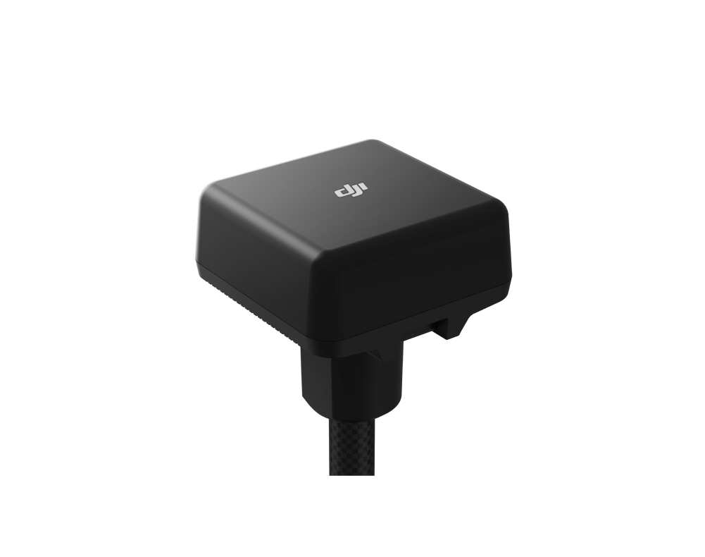
RTK Module
TimeSync
Camera
Multispectral Imaging System
Six 1/2.9” CMOS sensor, including 1RGB Sensor & 5 monochrome sensors
Effective pixel for each sensor 2.08MP (2.12MP in total)
Live NDVI view
Tech Specs | Extra
Takeoff Weight:1487 g
Diagonal Distance (Propellers Excluded): 350 mm
Max Service Ceiling Above Sea Level:
19685 ft (6000 m)
Max Speed: 31 mph (50 kph) (P-mode);
36 mph (58 kph) (A-mode)
Operating Temperature: 0° to 40° C
(32° to 104° F)
Operating Frequency: 2.4000 GHz to 2.4835 GHz (Europe, Japan, Korea) 5.725 GHz to 5.850 GHz (Other countries/regions)
Looking for something else?
What's in the Box
Accessories for P4 Multispectral
D-RTK 2 High Precision GNSS Mobile Station
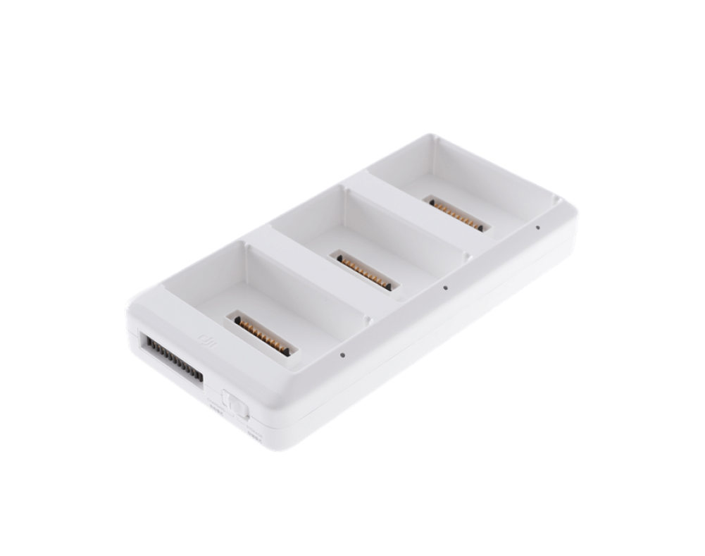
Phantom 4 Series Charging Hub
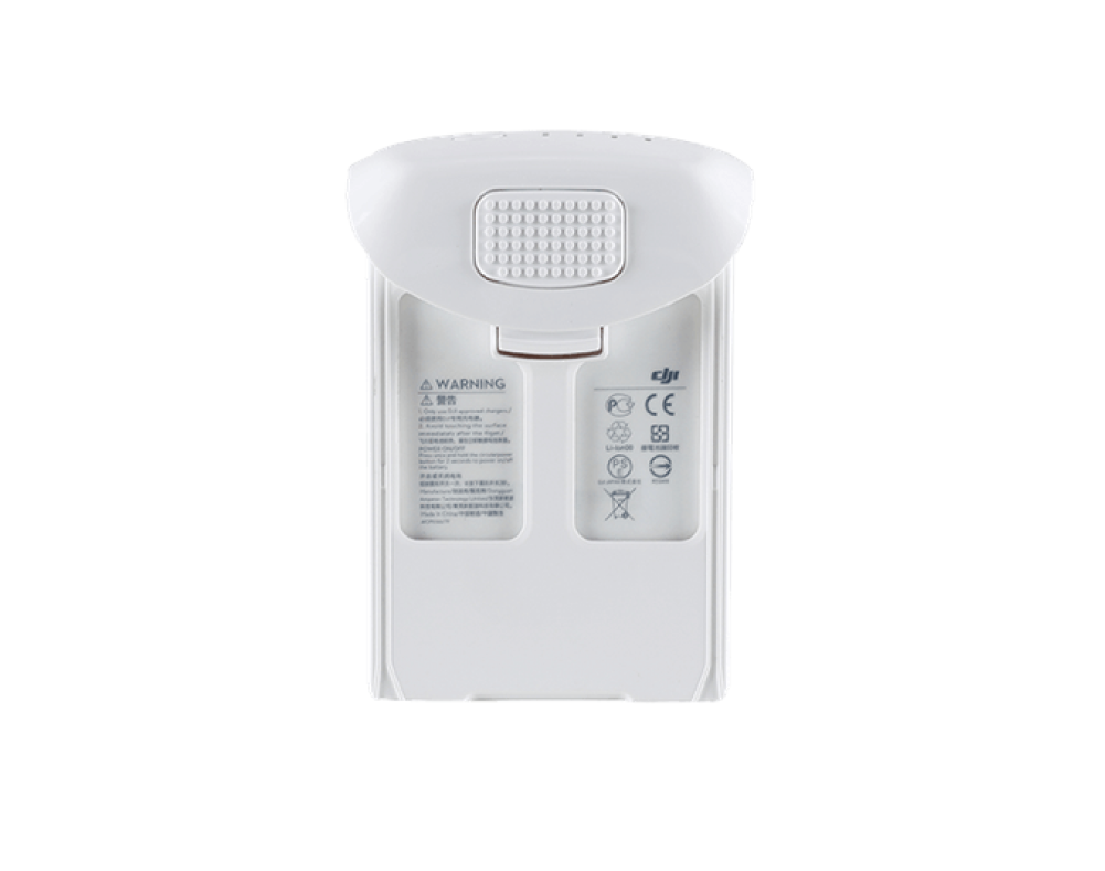
Phantom 4 ISeries Intelligent Flight Battery
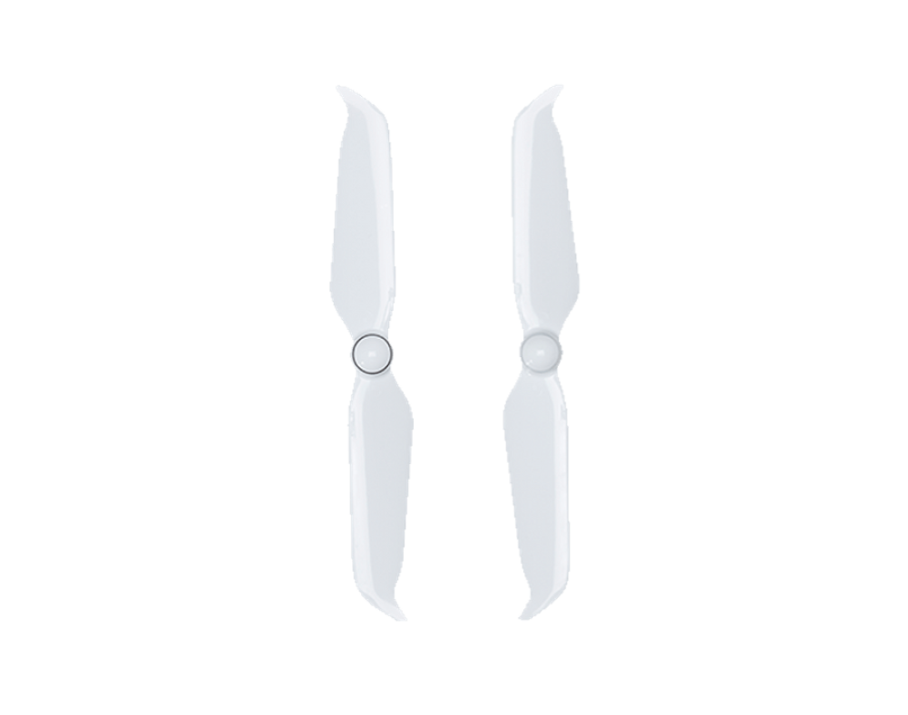
Phantom 4 Series Propellers
Get personalized updates on industry innovations and free digital assets
By submitting your information, you are agreeing to receive news, surveys, and special offers from Dronehub Ghana Limited. Terms and Conditions, Privacy Policy
Your preferred drone products and solutions provider in Africa
Everything drones
H/No. 60 Co-Operative Building, Opposite Glico Insurance, Kwame Nkrumah Avenue, Adabraka, Greater Accra, Ghana GA-075-8188
Our Store
Solutions
Industries
Services
© 2026 Dronehub Ghana Limited. All rights reserved.