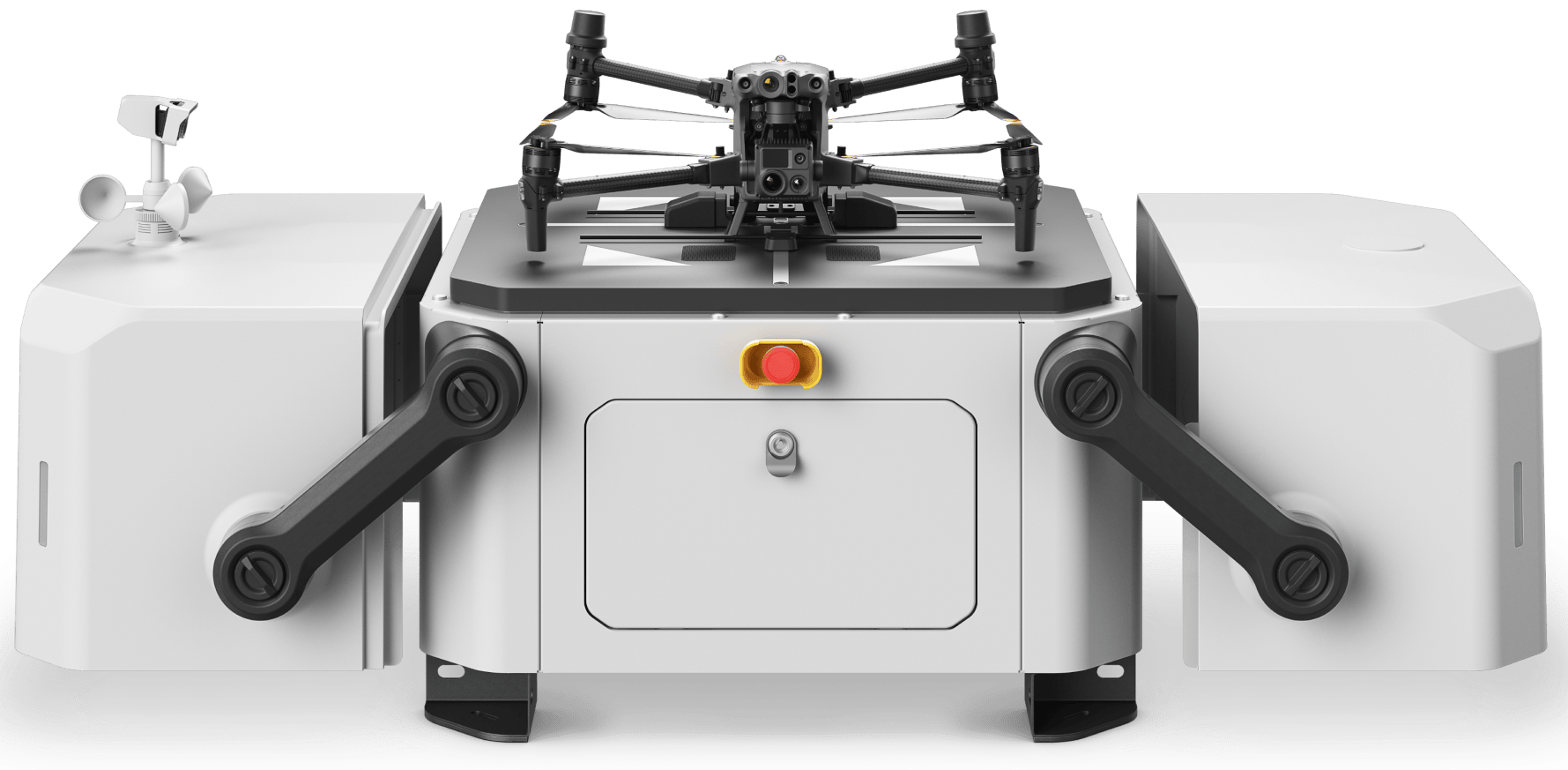
Drone Solutions for Mining
Smart mining systems
Drone Applications in Mining
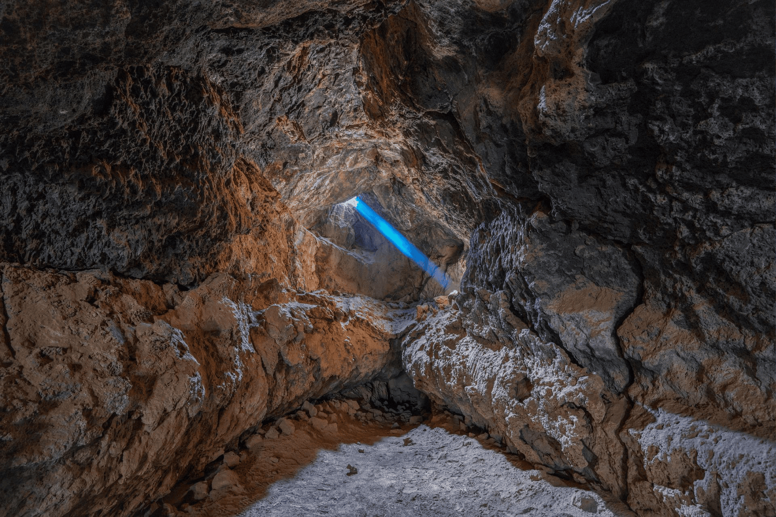
Mapping Underground
Drones equipped with special sensors can fly in confined spaces or GPS denied areas to successfully map underground mines.
Stockpile Management
Data collected by drones and processed with relevant software assists mine operators to measure stockpiles accurately. More so, frequent volume calculations of stockpiles with accurate results are now possible at lower cost and improved safety.
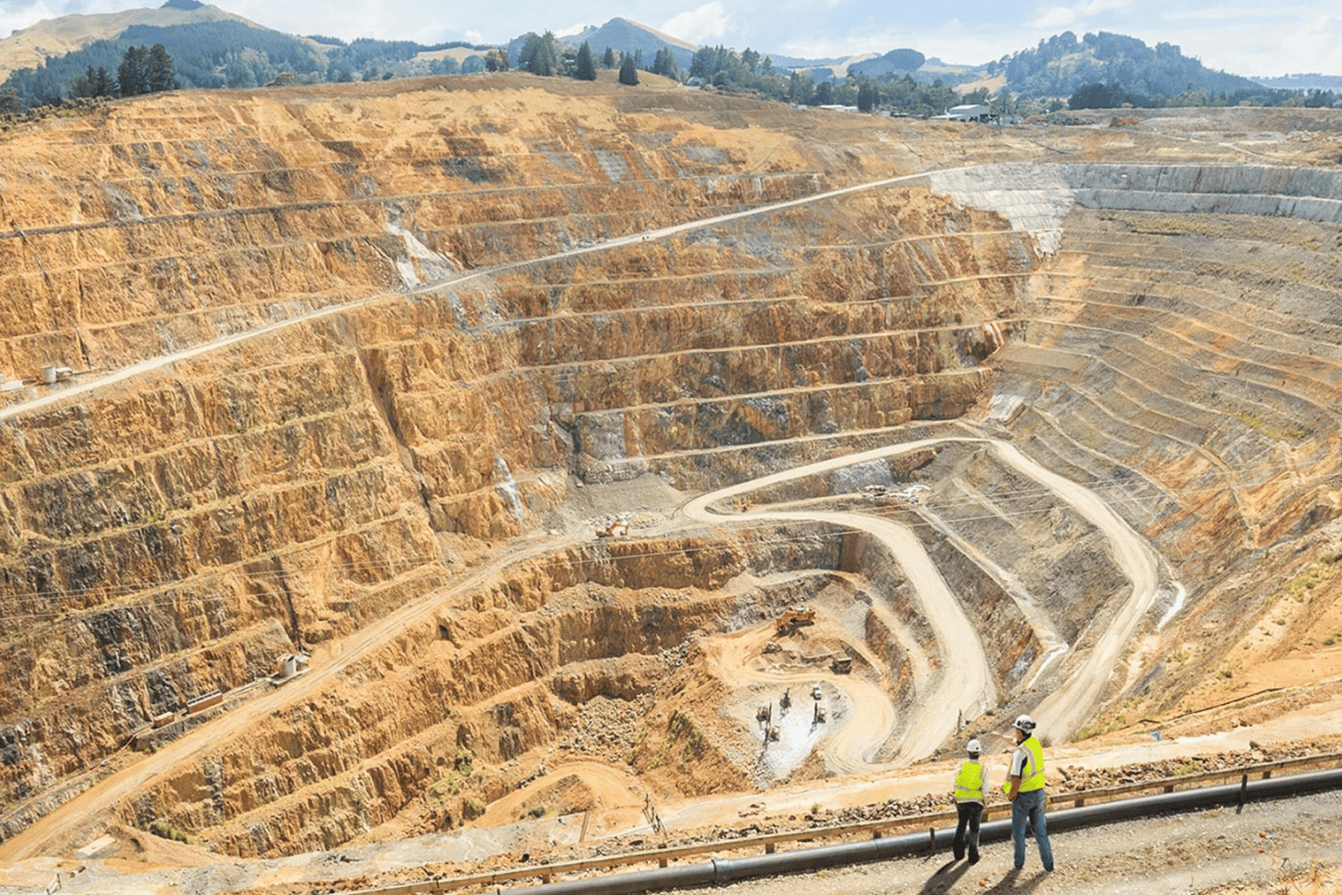
Mine Surveys
Drones make it easier for surveyors to capture data points to generate topographic maps, 2D and 3D maps, digital terrain models and contours at mine concessions and exploration sites.
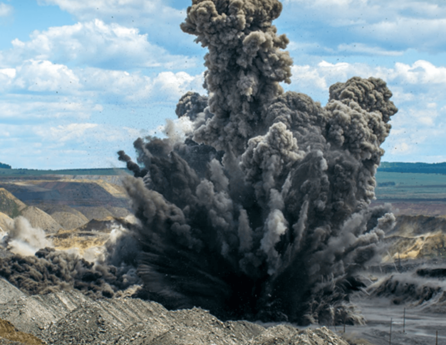
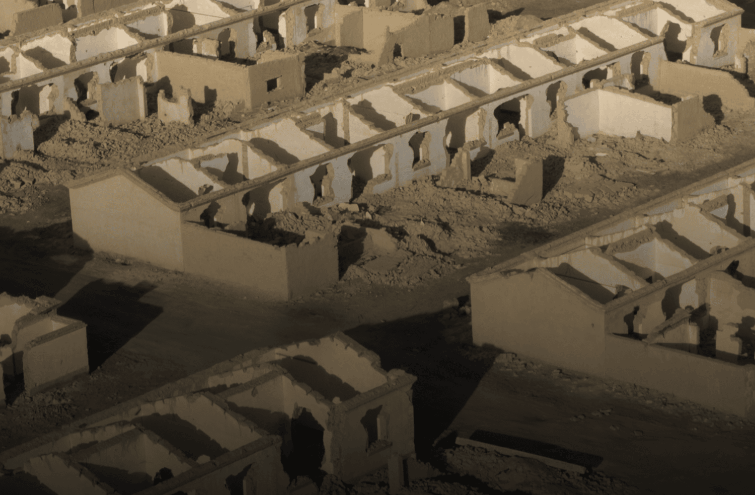
Other Applications
Blast monitoring. Monitor tailing dams to prevent environmentally toxic run-offs. Plan mining operations in inaccessible areas and rugged terrains. Generate accurate models of mine site for quarry management and operation planning. Provide aerial security and surveillance for mine sites and undeveloped concessions.
Drones Solutions for Mining
Looking for something else?
Get personalized updates on industry innovations and free digital assets
By submitting your information, you are agreeing to receive news, surveys, and special offers from Dronehub Ghana Limited. Terms and Conditions, Privacy Policy
Your preferred drone products and solutions provider in Africa
Everything drones
H/No. 60 Co-Operative Building, Opposite Glico Insurance, Kwame Nkrumah Avenue, Adabraka, Greater Accra, Ghana GA-075-8188
Our Store
Solutions
Industries
Services
© 2023 Dronehub Ghana Limited. All rights reserved.