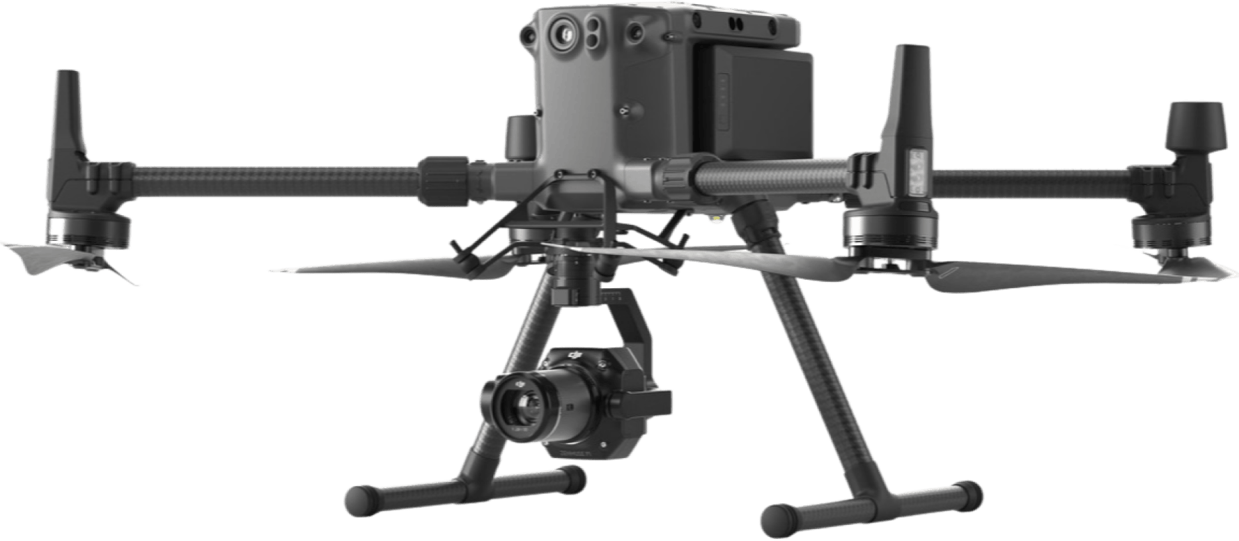
Drone Solutions for Forestry
Protecting our environment and natural resources
Drone Applications in Forestry
Forest Resource Surveys
Drones provide you with aerial data for forest monitoring, planning, fire protection, law enforcement and post-disaster survey analysis.

Situational Awareness
Drones can be deployed for wildlife monitoring and natural resource management.

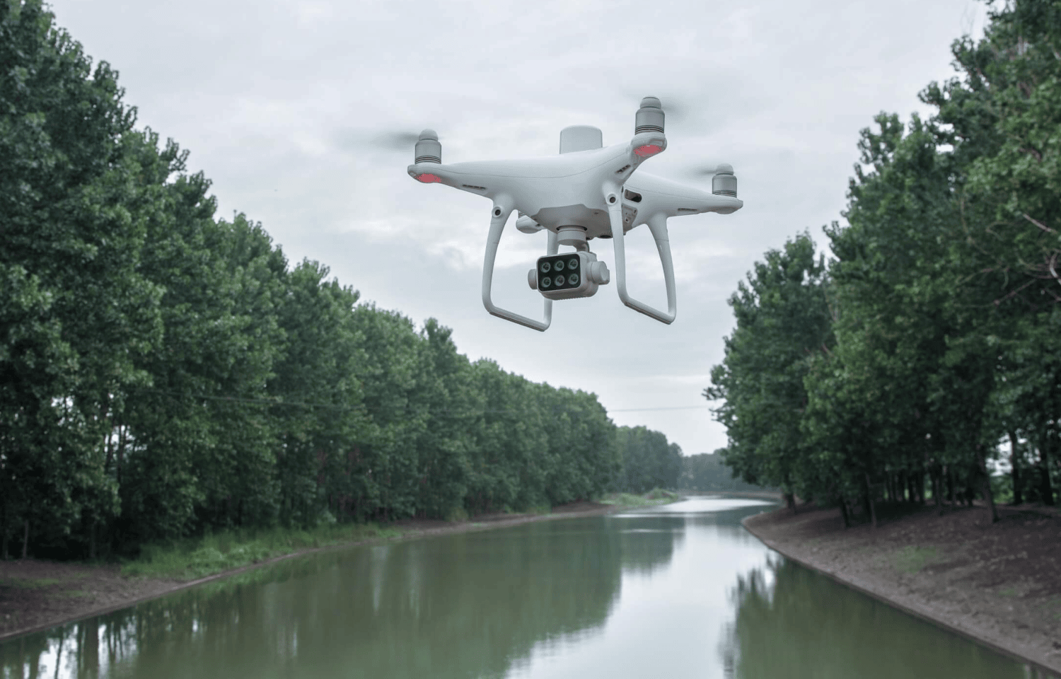
Pest Control
Aerial data captured by drones can be used to identify the effects of pests while spraying drones can be used to apply pesticides to control and mitigate the identified pests.
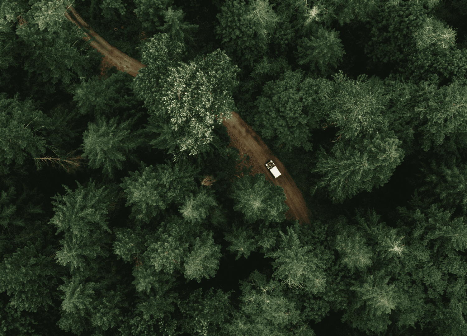
Forest Patrols
The use of drones in forest patrols is helpful for the rapid deployment of rescue teams, repeatable missions, accurate data recording and complex environments. They are also useful in identifying areas of illegal logging, wildlife damage and illegal land occupation.
Stockpile Measurement
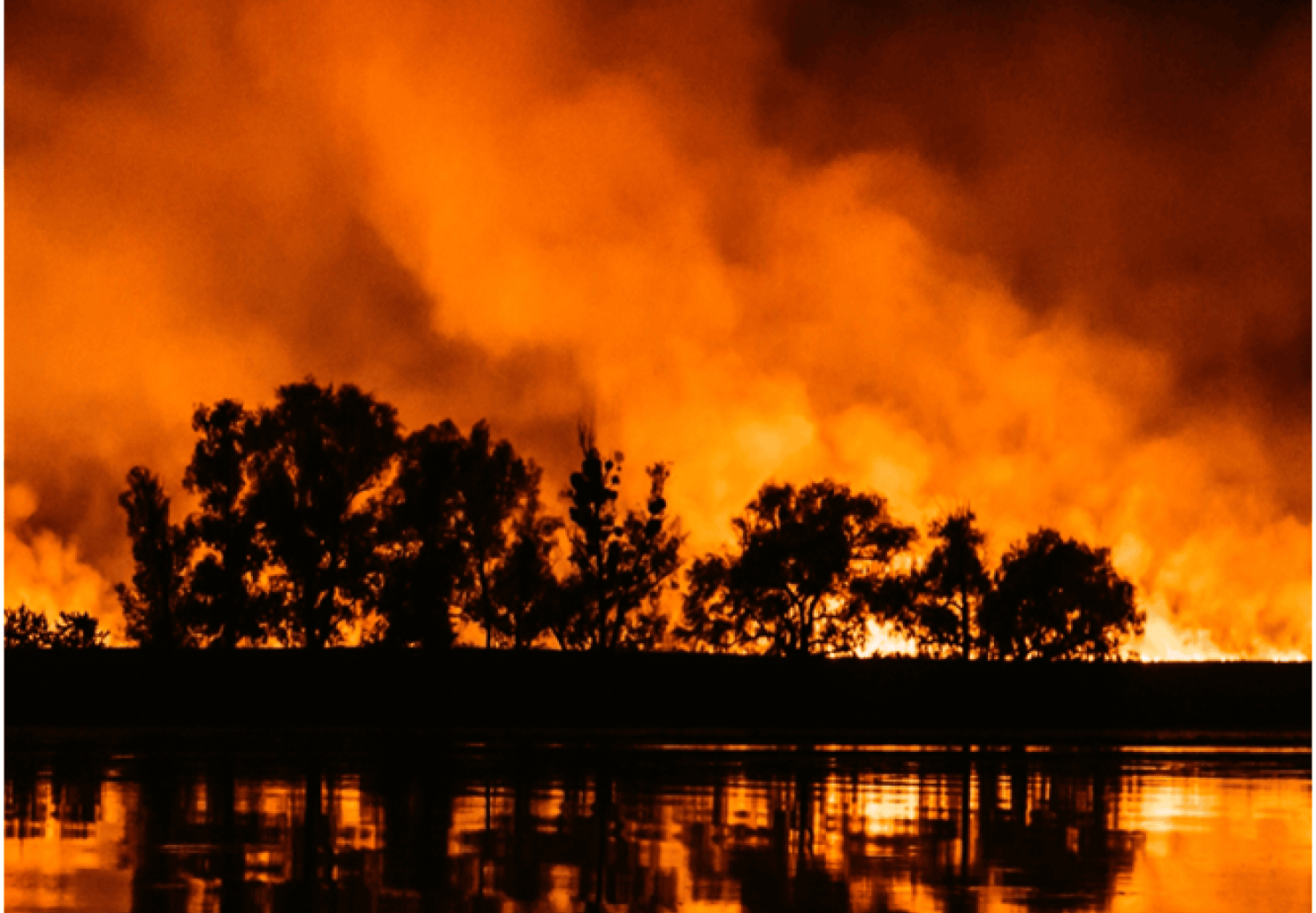
First responders can use aerial data from drones to assess the risk and route of fire spread. More so, firefighters can use drones equipped with speakers to broadcast information to ground teams conducting evacuation.
Drones Solutions for Forestry
Looking for something else?
Get personalized updates on industry innovations and free digital assets
By submitting your information, you are agreeing to receive news, surveys, and special offers from Dronehub Ghana Limited. Terms and Conditions, Privacy Policy
Your preferred drone products and solutions provider in Africa
Everything drones
H/No. 60 Co-Operative Building, Opposite Glico Insurance, Kwame Nkrumah Avenue, Adabraka, Greater Accra, Ghana GA-075-8188
Our Store
Solutions
Industries
Services
© 2023 Dronehub Ghana Limited. All rights reserved.