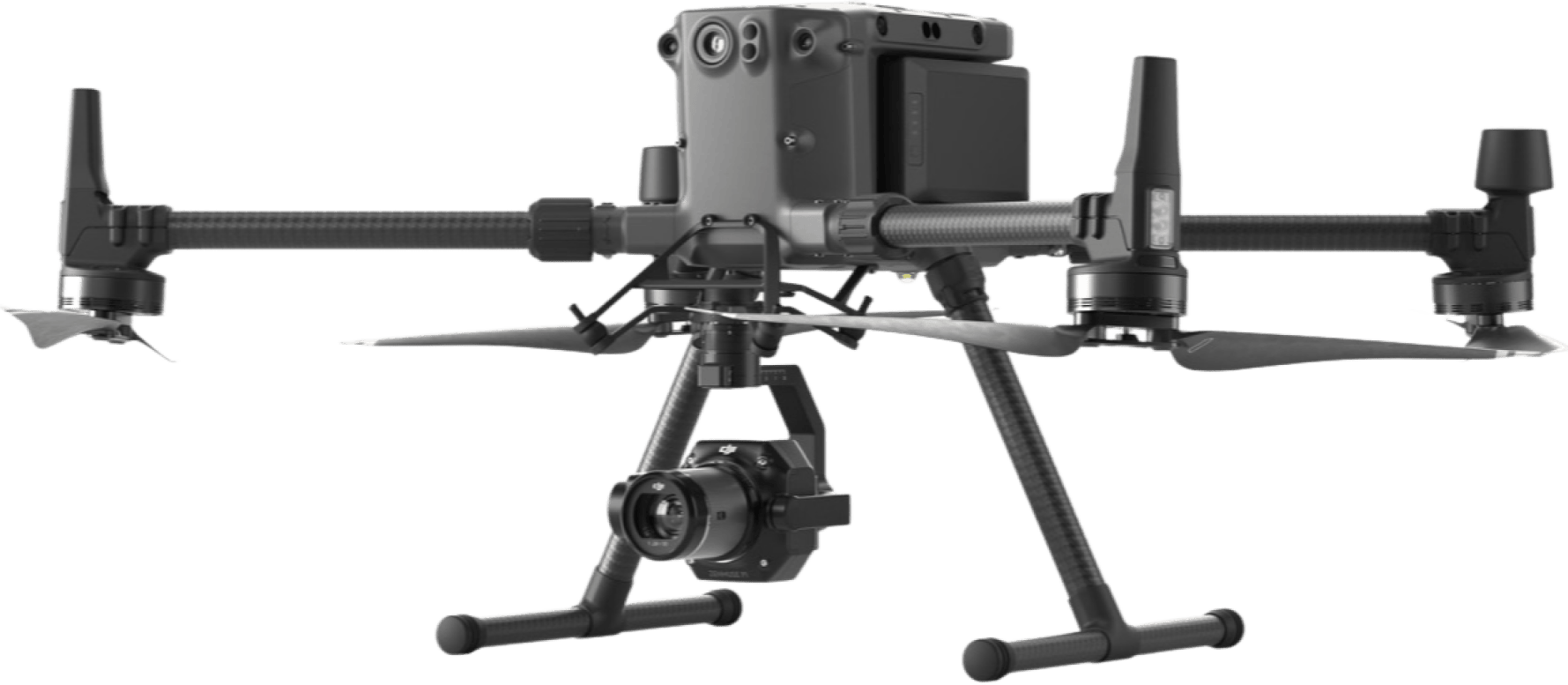
Drone Solutions for Public Safety
Serving communities better with accurate aerial insights
Drone Applications in Public Safety
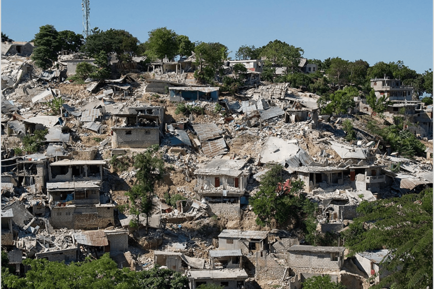
Site Assessments & Investigations
Survey scenes to collect accurate site information for investigations or assess the damage for proper decision making.
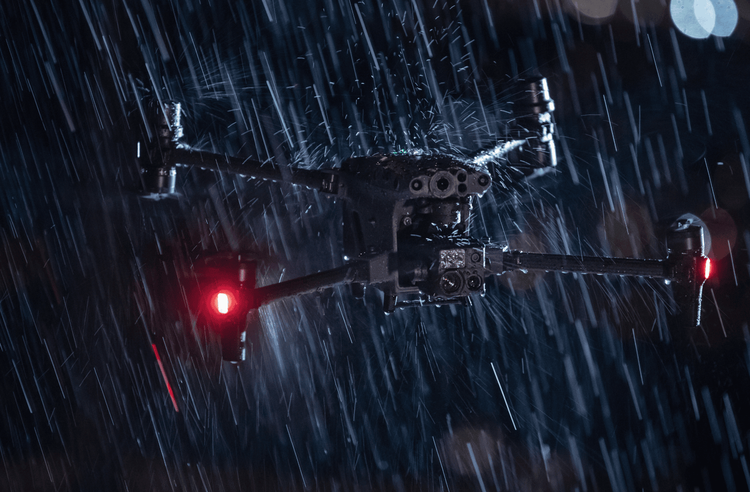
Situational Awareness
Get quick and significant aerial insights in challenging situations for an appropriate situational response. Drone technology allows safety teams to get rapid real-time aerial awareness during disasters such as floods, fire, etc.
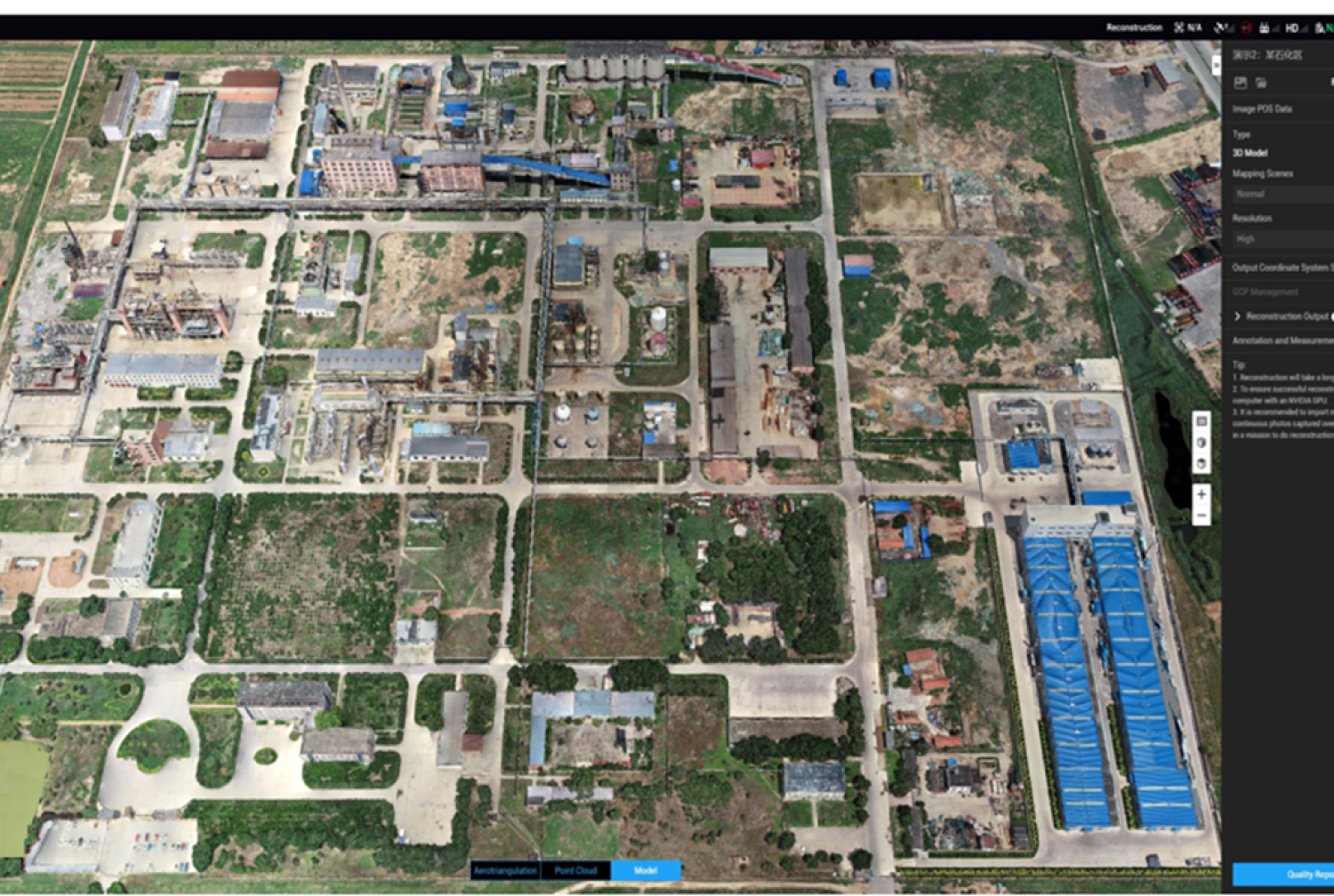
Accident Reconstruction
Aerial mapping captures accurate data that allows investigators and motorists to recreate accident scenes for better investigation.
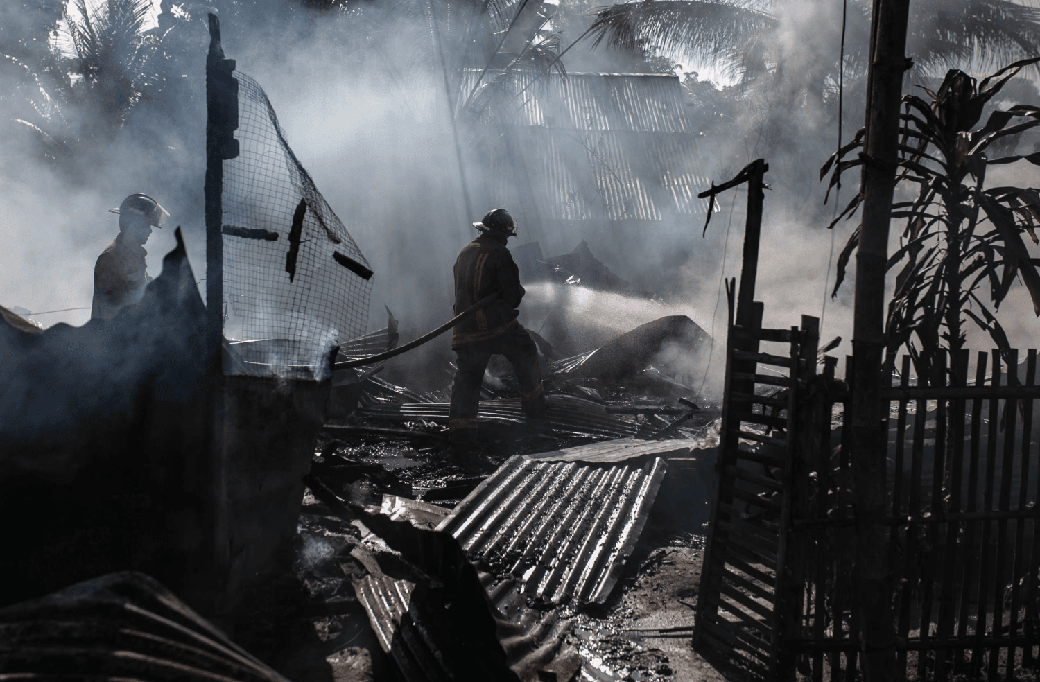
Assist First Responders
Direct aid to first responder missions on emergency or disaster sites to assess the damage and capture accurate data that supports the cause.
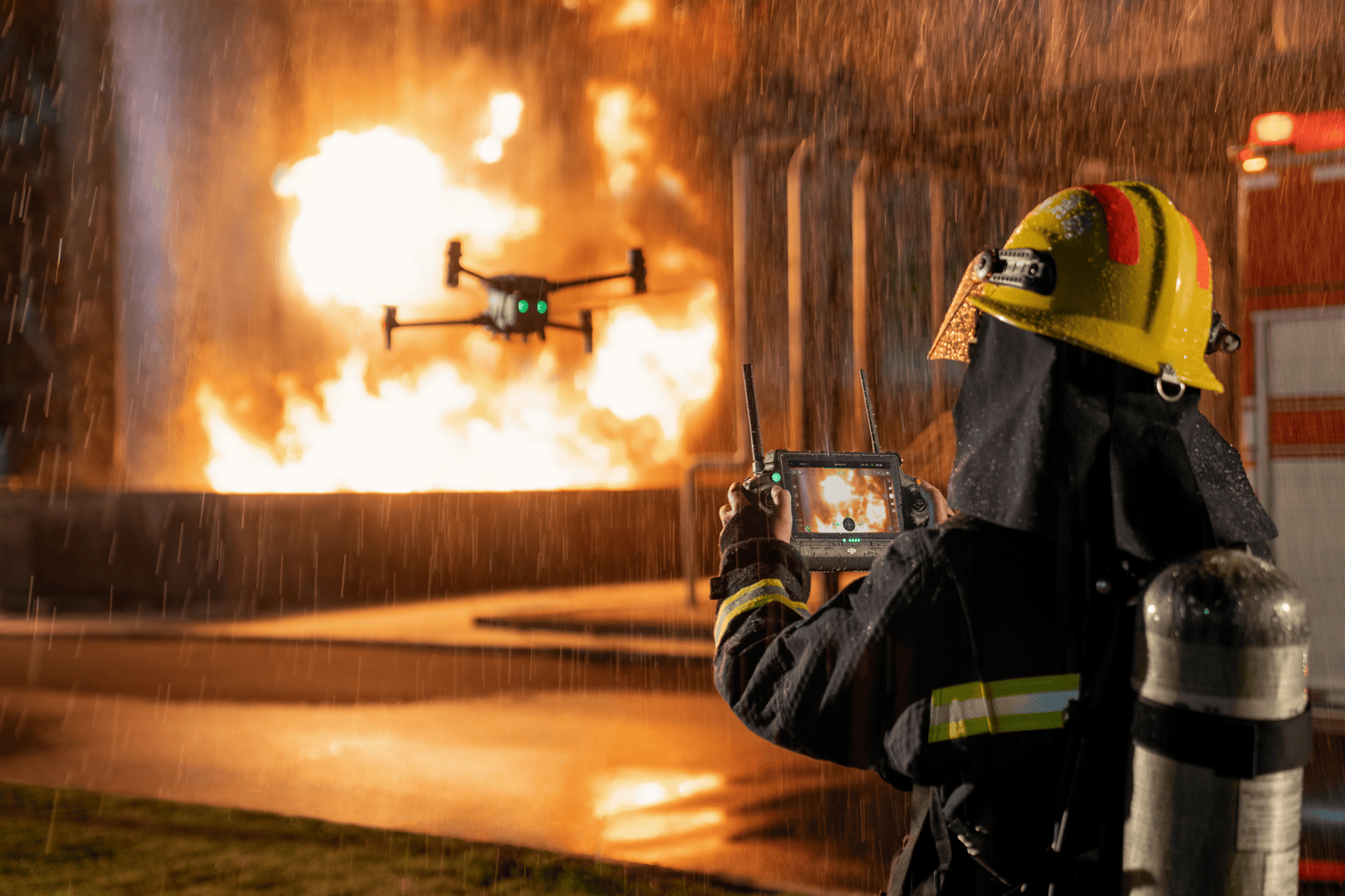
Aid Firefighters
Safely assess fire outbreaks to determine the rate of spread, route, and areas of high risk before sending a team for rescue.
Drones Solutions for Public Safety
Looking for something else?
Get personalized updates on industry innovations and free digital assets
By submitting your information, you are agreeing to receive news, surveys, and special offers from Dronehub Ghana Limited. Terms and Conditions, Privacy Policy
Your preferred drone products and solutions provider in Africa
Everything drones
H/No. 60 Co-Operative Building, Opposite Glico Insurance, Kwame Nkrumah Avenue, Adabraka, Greater Accra, Ghana GA-075-8188
Our Store
Solutions
Industries
Services
© 2023 Dronehub Ghana Limited. All rights reserved.