Overview
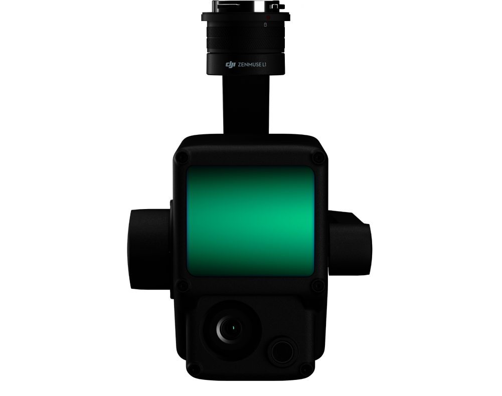
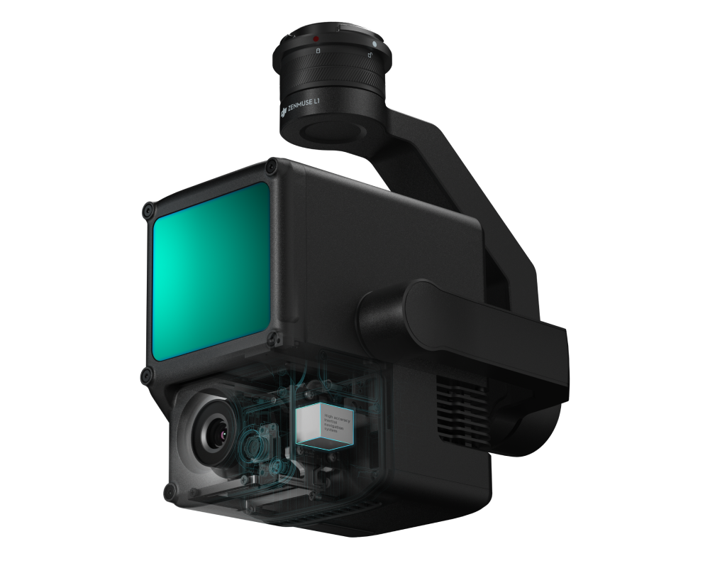
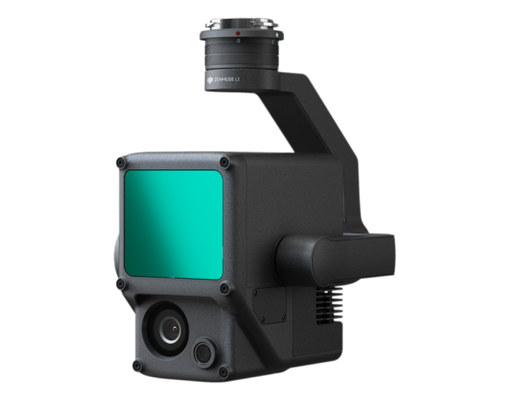
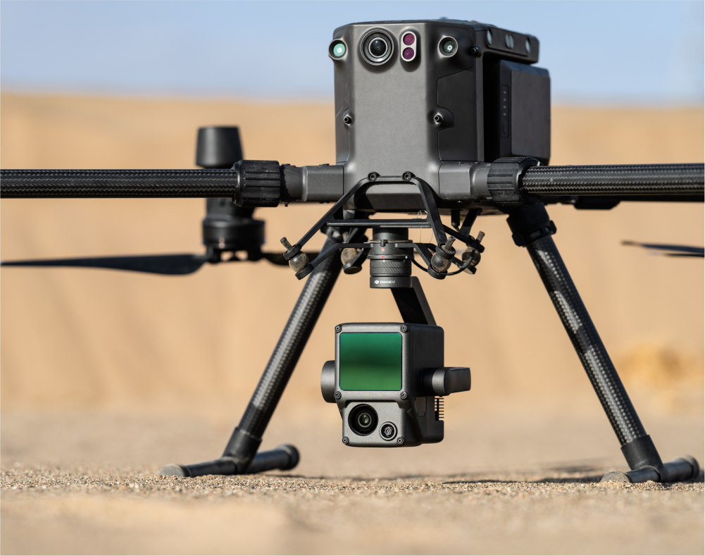
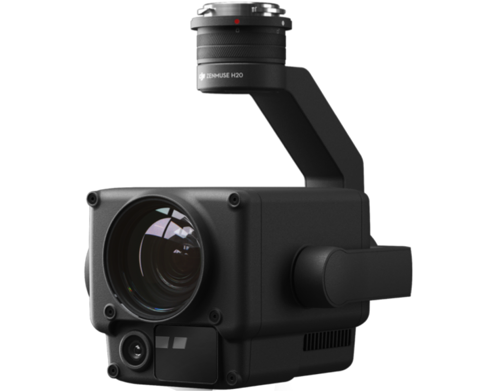
DJI Zenmuse L1 is an aerial camera for collecting LiDAR data, particularly in dense vegetation where ground or terrain level data is crucial. The device combines a Livox Lidar module, a high-accuracy IMU and a high-resolution camera on a 3-axis stabilised gimbal.
The complete integration of the module within the DJI ecosystem with the Matrice 300 RTK and Terra means a reliable and compatible system that supports LiDAR mapping. Zenmuse L1 is ideal for mapping power lines, determining topography of dense terrains, and many more.
Applications
- Topographical mapping
- Surveying & AEC
- Emergency response
- Law enforcement
- Energy and infrastructure
- Agriculture and forestry management
Tech Specs | Summary
Tech Specs | Extra
- Dimensions: 152×110×169 mm
- Weight: approx. 940 g
- IP Rating: IP54
- Supported aircraft: Matrice 300 RTK
- Power: 30 W; Max:60W
- Operating Temperature Range: -20° to 50° C (-4° to 122° F)
- Storage Temperature Range: -20° to 60° C (-4° to 140° F)
- Absolute Accuracy: Horizontal: 10 cm, Vertical: 5 cm
- Ranging Accuracy: 3 cm @ 100 m
- Scan Modes: Repetitive line scan pattern, non-repetitive petal scan pattern
- Maximum Returns Supported: 3
- Shutter Speed: Mechanical Shutter Speed: 1/2000 - 8 s, Electronic Shutter Speed: 1/8000 - 8 s
- Gimbal: 3-axis (tilt, roll, pan)
Looking for something else?
Get personalized updates on industry innovations and free digital assets
By submitting your information, you are agreeing to receive news, surveys, and special offers from Dronehub Ghana Limited. Terms and Conditions, Privacy Policy
Your preferred drone products and solutions provider in Africa
Everything drones
H/No. 60 Co-Operative Building, Opposite Glico Insurance, Kwame Nkrumah Avenue, Adabraka, Greater Accra, Ghana GA-075-8188
Our Store
Solutions
Industries
Services
© 2026 Dronehub Ghana Limited. All rights reserved.