
Overview
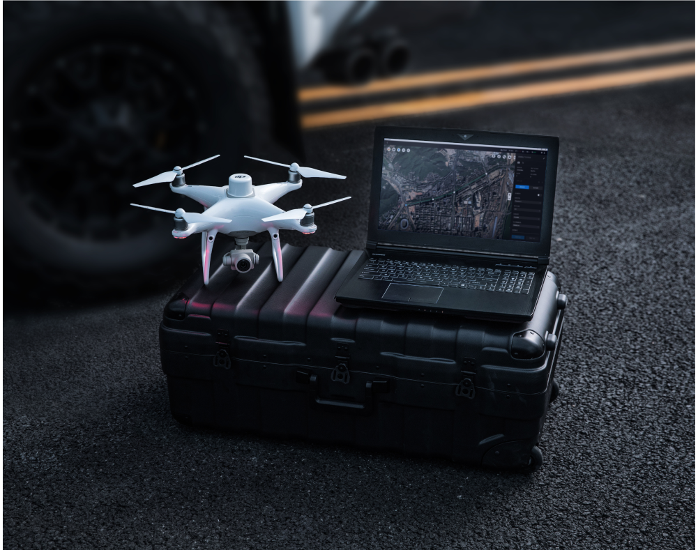
Capture, analyse and envision your world with DJI Terra. A professional mapping software developed to assist industry professionals to transform everyday scenarios into digital assets.
Applications
- Agriculture
- Infrastructure
- Construction
- Public safety
- Energy
- Forestry
- Mining
Tech Specs | Summary
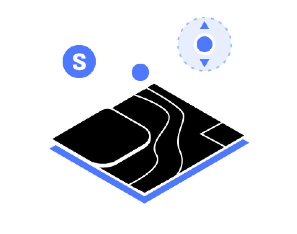
Features
- Mission Planning
- Data Acquisition
- Area Mapping
- Data Processing and Analysis
- DJI Terra Versions
- DJI Terra Agriculture
- DJI Terra Pro
- DJI Terra Electricity
- DJI Terra Cluster
Tech Specs | Extra
Compatibility
Use DJI Terra to plan and execute flights for:
- Phantom 4 RTK (Remote Controller)
- Phantom 4 Pro V2.0
- Phantom 4 Pro + V2.0
- Phantom 4 Pro
- Phantom 4 Advanced and Phantom 4
Use DJI Terra to process data from:
Phantom 4 Series drones
- Zenmuse L1
- Zenmuse P1
- Zenmuse L1
- Zenmuse X7
Download Full Tech Specs
Looking for something else?

Get personalized updates on industry innovations and free digital assets
By submitting your information, you are agreeing to receive news, surveys, and special offers from Dronehub Ghana Limited. Terms and Conditions, Privacy Policy
Your preferred drone products and solutions provider in Africa
Everything drones
H/No. 60 Co-Operative Building, Opposite Glico Insurance, Kwame Nkrumah Avenue, Adabraka, Greater Accra, Ghana GA-075-8188
Our Store
Solutions
Industries
Services
© 2026 Dronehub Ghana Limited. All rights reserved.