A New Era of Intelligent Aerial Operations: The DJI Matrice 4 Series
The Age of Intelligent Flight
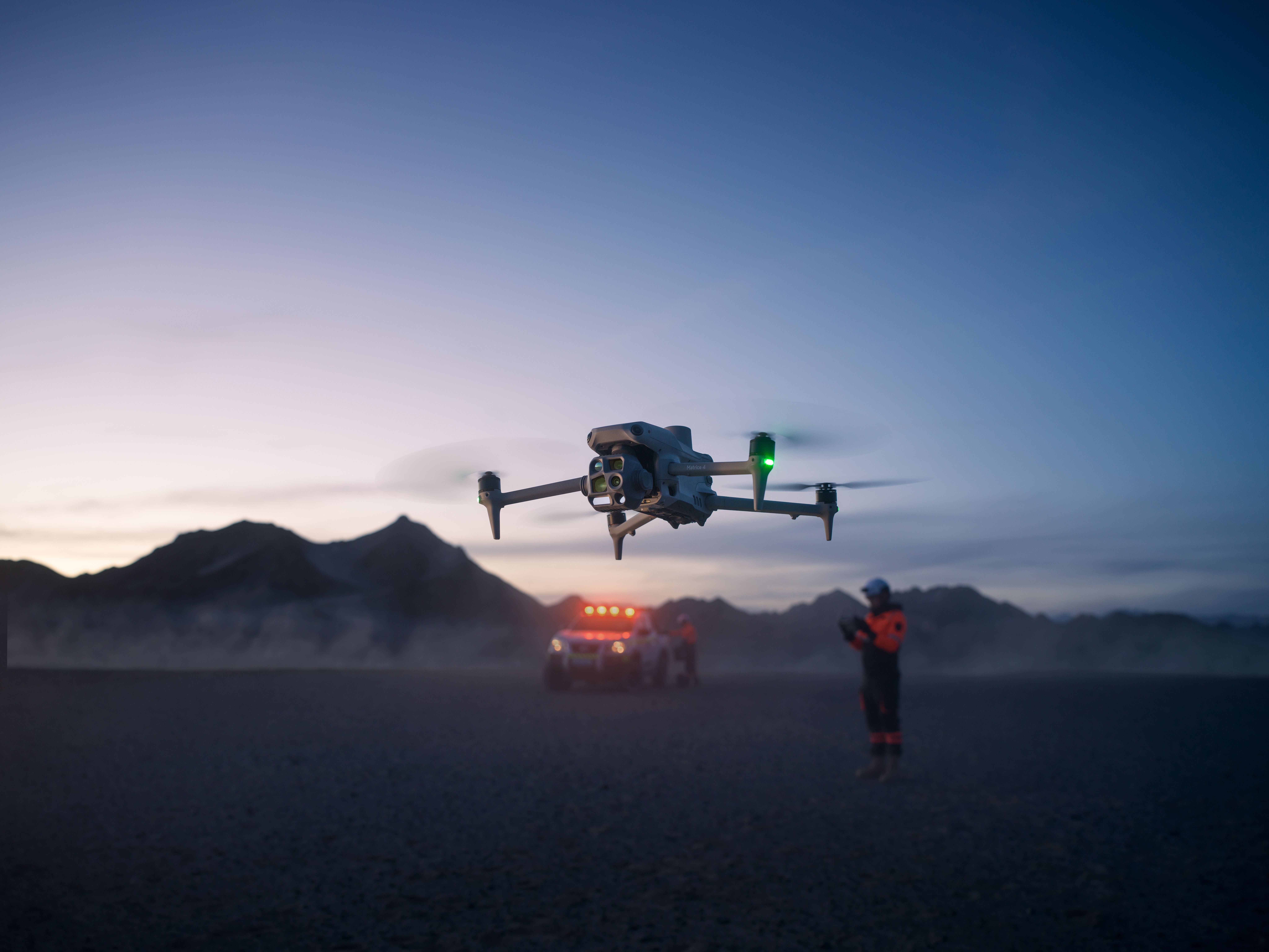
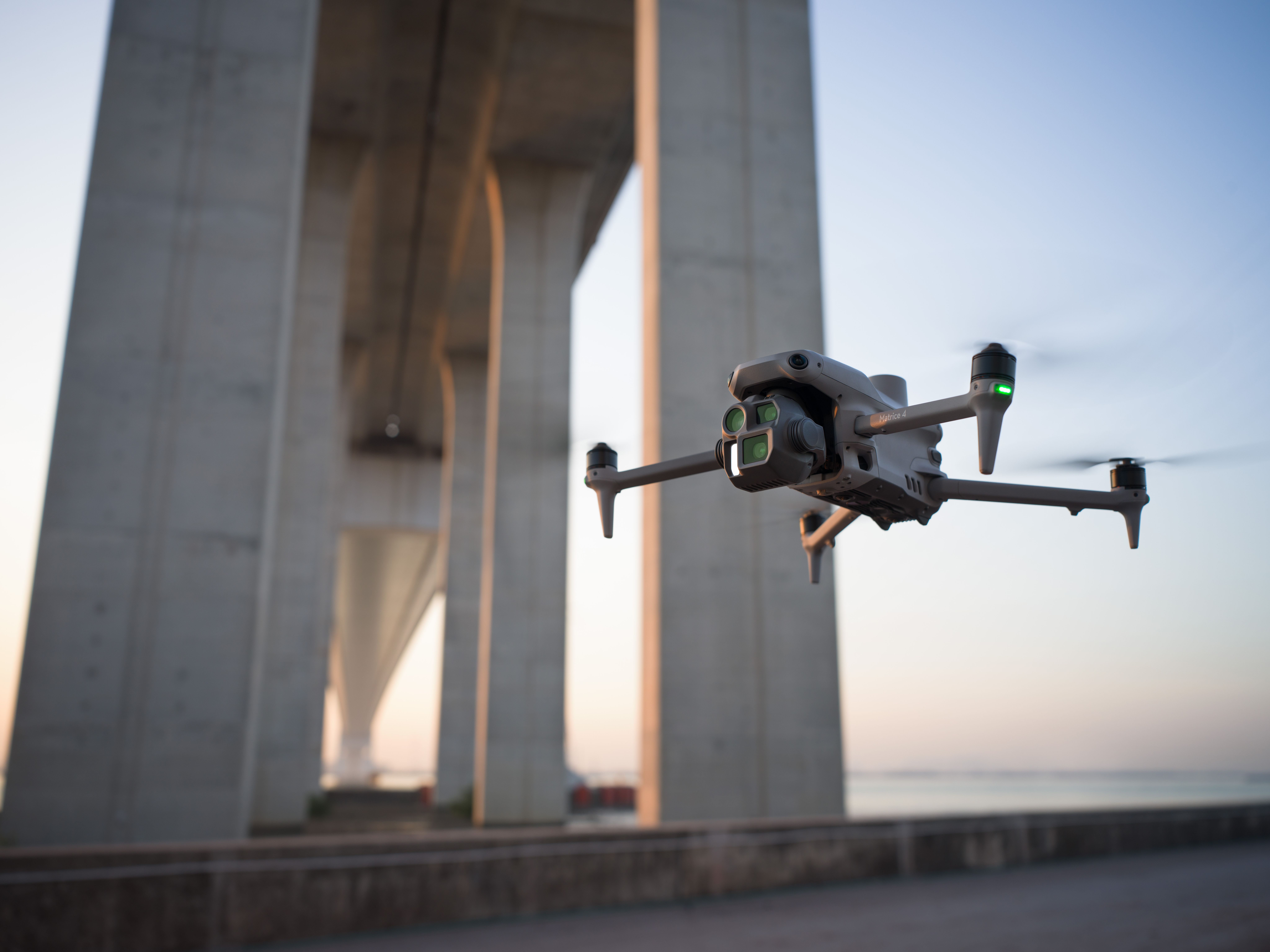
DJI has unveiled its latest innovation: the DJI Matrice 4 Series, a compact, intelligent, and multi-sensor flagship drone series. Designed to redefine aerial operations, the Matrice 4T and 4E offer cutting-edge technology tailored for diverse applications, from emergency response to geospatial surveying.
Intelligent Operations with AI
The Matrice 4 Series integrates advanced AI capabilities to detect vehicles, vessels, and subjects, making it ideal for search and rescue missions or routine inspections. With high-resolution grid photos and powerful tracking tools, these drones adapt seamlessly to various scenarios.
Laser-Precise Measurement
Equipped with a laser range finder, the Matrice 4 Series supports real-time measurement tasks like pinpointing inspection targets or calculating wildfire areas. Users can effortlessly share data via DJI Pilot or FlightHub 2, ensuring streamlined collaboration and workflow efficiency.
Unmatched Performance in Low-Light Environments

The Matrice 4 Series excels in challenging lighting conditions:
- Night Scene Mode: Full-color night vision with enhanced noise reduction.
- Smart Low-Light Photo: Intelligent capabilities for capturing details in darkness.
- NIR Auxiliary Light: The Matrice 4T illuminates up to 100 meters, ensuring visibility in wildlife protection and other applications.
- Thermal Imaging: Matrice 4T supports infrared High-Res Mode and captures fine temperature details with remarkable accuracy.
Crystal-Clear Vision for Precision Tasks

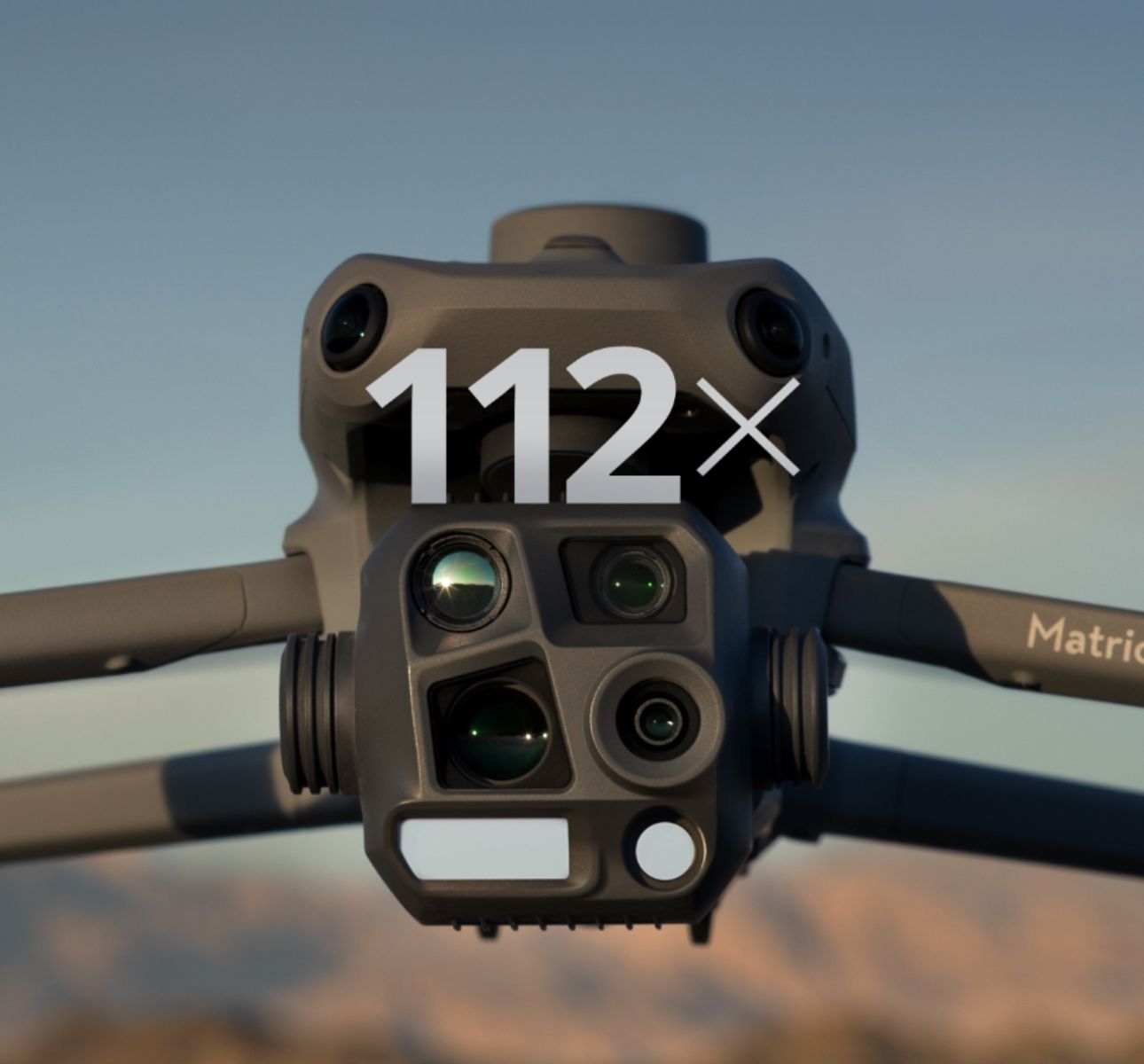
From inspecting screws on power lines to capturing high-resolution images from 250 meters away, the Matrice 4 Series cameras deliver unmatched clarity. The telephoto and medium tele cameras enhance their versatility for inspections, mapping, and monitoring.
Built for Speed and Accuracy
For geospatial professionals, the Matrice 4E is a game-changer. Its wide-angle camera and rapid shooting intervals enable high-speed aerial surveying, delivering orthophoto and oblique photography with remarkable efficiency.
Applications Across Industries
Matrice 4 Thermal:
Perfect for public safety, emergency response, forestry conservation, and electricity management.

Camera Specifications of the Matrice 4T
- Wide-Angle Camera
1/1.3″ CMOS, 48MP Effective Pixels, f/1.7, Format Equivalent: 24 mm
- Medium Tele Camera
1/1.3″ CMOS, 48MP Effective Pixels, f/2.8, Format Equivalent: 70 mm
- Tele Camera
1/1.5″ CMOS, 48MP Effective Pixels, f/2.8, Format Equivalent: 168 mm
- Laser Range Finder
Measurement Range: 1800 m (1 Hz); Oblique Incidence Range (1:5 Oblique Distance): 600 m (1 Hz) Blind Zone: 1 m; Range Accuracy (m): ± (0.2 + 0.0015 × D)
- Infrared Thermal Camera
Resolution 640 × 512, f/1.0, Equivalent Focal Length: 53 mm, Uncooled VOx Microbolometer, Supports High-Res Mode
- NIR Auxiliary Light
FOV: 6°, Illumination Distance: 100 m
Matrice 4 Enterprise:
Tailored for surveying, construction, and mining.

Camera Specifications of the Matrice 4E
- Wide-Angle Camera
4/3 CMOS, 20MP Effective Pixels , f/2.8-f/11, Format Equivalent: 24 mm, Mechanical Shutter
- Medium Tele Camera
1/1.3″ CMOS, 48MP Effective Pixels, f/2.8, Format Equivalent: 70 mm
- Tele Camera
1/1.5″ CMOS, 48MP Effective Pixels, f/2.8, Format Equivalent: 168 mm
- Laser Range Finder
Measurement Range: 1800 m (1 Hz); Oblique Incidence Range (1:5 Oblique Distance): 600 m (1 Hz) Blind Zone: 1 m; Range Accuracy (m): ± (0.2 + 0.0015 × D)
With upgraded accessories and unparalleled performance, the DJI Matrice 4 Series sets a new standard for aerial intelligence.
Looking for something else?
Get personalized updates on industry innovations and free digital assets
By submitting your information, you are agreeing to receive news, surveys, and special offers from Dronehub Ghana Limited. Terms and Conditions, Privacy Policy
Your preferred drone products and solutions provider in Africa
Everything drones
H/No. 60 Co-Operative Building, Opposite Glico Insurance, Kwame Nkrumah Avenue, Adabraka, Greater Accra, Ghana GA-075-8188
Our Store
Solutions
Industries
Services
© 2025 Dronehub Ghana Limited. All rights reserved.